


Spanish Plume brings humid nights, thunderstorm risk but yet another weekend low pressure
We have another low pressure for this weekend with wind and rain but it nips through more quickly and will be clearing northwards on Saturday. Before that heat and humidity from Spain with thunderstorms
There will be very warm and humid air pulsing up over southern Britain later this week with some muggy nights to come for southeast England. London will see air temperatures of 25 to 28C by day and will still feel like the mid 20sC by Friday evening. Temperatures might not dip below 20C overnight in parts of southeast England as the humid air and close conditions build. This would be a Tropical Night.

This surge of very warm air moving northwards from Iberia is known as a 'Spanish Plume', when other conditions coincide. It’s not just heat from the south. Certain setups result in muggy, very warm weather here in the UK accompanied by thunderstorms and heavy downpours.
Spain has been hot and France now has heat warnings. In a southerly flow, that same air will brush the UK lifting air temperatures widely into the mid 20sC. However, it soon gets shoved away eastwards at the weekend. It’s never far away, lurking over the near continent and could sway back over Kent, maybe London by the end of the weekend and start of next week.
‘Spanish Plume’ is actually a rather catchy name for a rather complex meteorological phenomenon which leads to warm conditions and heavy showers or thunderstorms over parts of the UK and north-west Europe.” Met Office
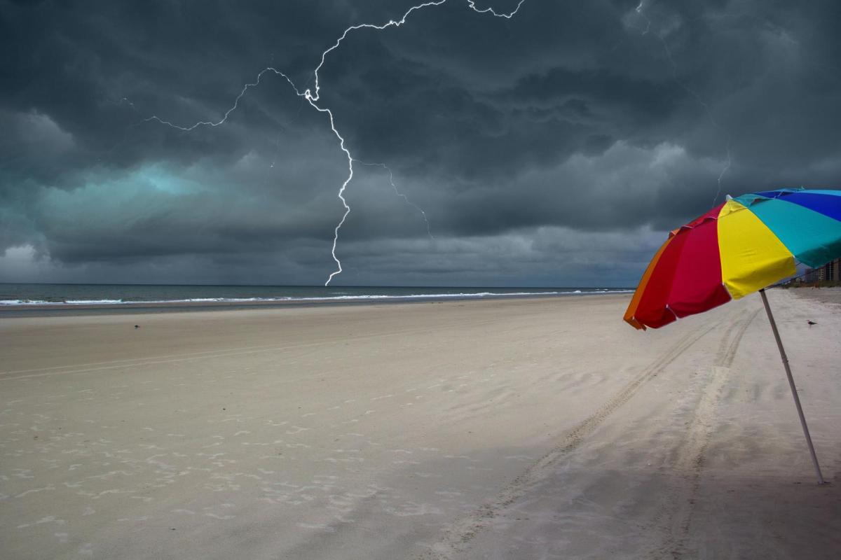
As well as the heat, the Spanish Plume set-up needs another ingredient. A fresher Atlantic flow can introduce moisture as frontal bands working their way in from the west towards the UK. Moisture, a temperature contrast, then convection. These are two differing air masses. When they meet, the cooler (more dense) Atlantic maritime air stays closer to the surface as the continental, southerly much warmer (less dense) air is forced upwards. Thunderstorms can result with hefty downpours, lightning, hail and gusty winds. This kind of setup can cause great excitement for lightning photographers in the summer months, especially if the storms arrive after dark.
The feed of storms can really get going if there is little synoptic movement, just the right ingredients present but not much change. This time the Atlantic bit is developing and a deepening low pressure is going to stretch right across the UK on Friday night, early Saturday and disrupt the plume.
Friday
Outbreaks of showery rain will spill up from the southwest early on Friday. This first band will fade in the afternoon but it will include heavy and thundery downpours for Wales, the Midlands and West Country and Northern Ireland in the morning. These extend over the Isle of Man, NW England down to the Isle of Wight later in the morning with more wet weather for central England around lunchtime which extends down to SE England in the afternoon. There will be a lot of cloud about but it will be warm and humid. Anywhere that does see sunshine will see the temperatures leaping up.
The threat of heavy, downpours continues into the afternoon for inland central/eastern England with a risk of thunderstorms and rain for Cumbria and Dumfries & Galloway. By Friday evening a few showery outbreaks would be near to Edinburgh and could affect the Festival and Tattoo.
Friday evening and overnight could be interesting for storm chasers in the far southeast, perhaps up through East Anglia. It will be worth watching the Netweather Radar for developments over northern France, through the English Channel and over SE England.
“Local flooding is possible from surface water in parts of the Northwest, South and East of England, London and the Midlands on Friday and Saturday… and there may be travel disruption.” Env. Agency
The Atlantic low is going to bring heavy frontal rain as the band pushes northwards. There will also be strong gusty winds around the low with gales for exposed coastal parts of SW Britain then through the Irish Sea into Saturday. Scotland will also be windy in an easterly flow with strong lee gusts for the NW Highlands.
“possibility of localised impacts from small watercourses and surface water in central and north eastern areas on Saturday morning due to overnight heavy rain.” SEPA
So the working week ends with a bout of wet and windy weather with thundery downpours too. This all takes its time to clear away northwards from Northern Ireland and Scotland on Saturday but the weekend then brightens up and settles down.
Check Your Latest Local Weather Forecast
More Weather Forecasts & News
Site Search