A windy but mild weekend as the Arctic cold leaves the UK
After a few more frosty nights with disruptive snow for the far north of Scotland we have a change for the weekend. It looks milder and very windy with heavy rain for western areas.
This week the UK has been in the grip of cold Arctic air. It will all change by the weekend as the flow shifts to the southwest bringing strong winds and rain our way from the Atlantic, even potentially stormy by Sunday.

Scotland has borne the brunt of the snow showers this week with disruption in the north. The impacts here are likely to increase with more heavy snow forecast, biting winds and an Amber warning for snow. Dalwhinnie in the centre of Scotland fell to -14C overnight, the lowest temperature recorded officially this winter. Northern Ireland and northern England saw snow and rain on Tuesday but for many, it has been a cold but bright week with frost and ice. Further south, the frontal bands of depression Irene (named by Meteo France due to the risk of snow, flooding and freezing rain) have been edging across the English Channel. This precipitation remained a tease in the forecast, a bit further north and it would have brought rain and snow to southern England on Wednesday.

For many, there won’t be any snow from this cold episode. It has been icy with frost and it has felt very cold in the northerly wind but there has been cheery winter sunshine. For the next few days, the theme of cold air from the north continues with chilly nights and a good deal of dry, bright weather. There will be more snow showers working their way down from the north. The Northern Isles and the far north of Highland region have an amber warning for heavy snow with concerns for travel disruption and drifting snow. Northern Scotland remains the focus for snow showers with a noticeable wind chill. Wintry showers will also reach western Scotland, Northern Ireland, Wales, Merseyside and Lancashire, areas exposed to the NNW wind. Early on Thursday, in a more northerly flow, the coast of Yorkshire could see snow showers to start the day and these could reach Norfolk later. By Friday, there could be bands of rain, sleet and snow reaching down to the Central Belt from the north. Otherwise, a lot of fine, chilly weather for the next few days.

The Weekend
The main difference this weekend will be how the air feels and that it will be windy everywhere. Daytime temperatures should be around 4 to 8 Celsius although it seems bold to say mild with the wind and for those seeing rain. The air will be quite different from this Arctic flow so it will feel milder, “not as cold”. Wednesday night and Thursday night will be cold again with widespread frost. Friday night looks cold for England and Wales with high pressure arriving from the west during the day leading to light winds.

Weather fronts begin to topple in from the northwest with cloud and rain as the winds back to the southwest. Northern Ireland and Scotland look blustery for Friday night so less chance of frost by morning here.

As the high pressure edges over central Europe, more weather fronts push over the UK with the main focus for the rainfall over Wales, NW England and western Scotland. There could be good shelter for eastern Britain with drier weather, say for southeast England and ABerndeshire. The risk of flooding will return with some heavy and persistent rain this weekend and a thaw adding to the flows downstream. Updates for Scotland should appear from SEPA . Southeastern England could start the day feeling chilly but could see a good deal of fair, bright weather.

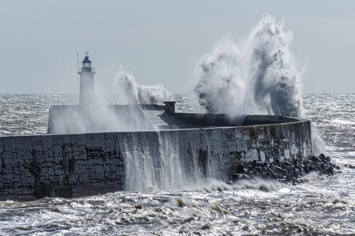
By Sunday, it will feel mild, out of the wind. Temperatures could reach 8 to 13C but there it will be a windy day with further rainfall. Heavy rainfall in places with a wider risk of surface water flooding. There are signs that a deep low pressure could bring stormy conditions to the UK on Sunday. The next name on this season’s storm list is “Isha”, so if it is named by one of the western group Met. services it would be Storm Isha on Sunday. The GFS model has the low continuing to deepen as it passes near northern Scotland in Sunday. Other models have a flatter pattern across Britain with strong winds which reach the North Sea to end the weekend.

