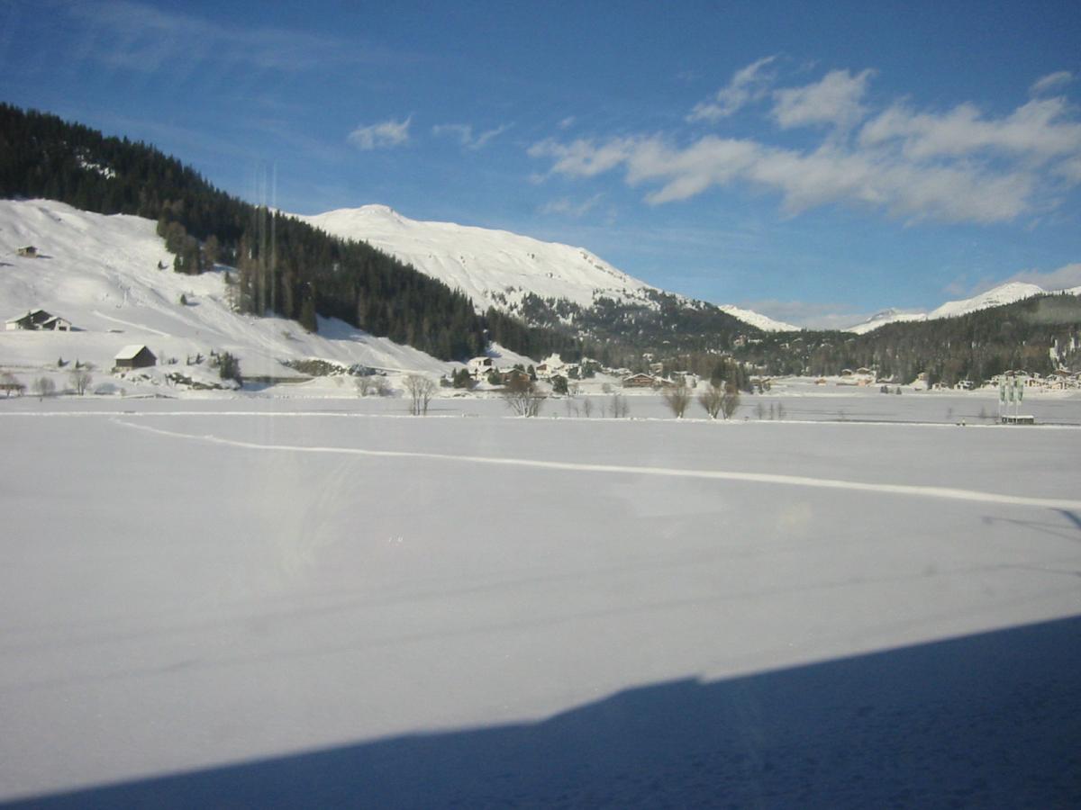
Effects Of Snow Cover On Surface Temperatures
Ever wondered why temperatures are lower over areas covered by snow both day and night compared to adjacent areas not covered in snow?
Ever wondered why temperatures are lower over areas covered by snow both day and night compared to adjacent areas not covered in snow? The surface temperature observations today illustrate well the differences in temperatures between those areas covered by snow and those that aren’t.
Visible satellite imagery earlier this afternoon shows, where skies have cleared, much of Wales and the Midlands covered in snow, as well as over the hills further north and parts of Ireland and Northern Ireland.

These snow-covered areas have seen temperatures stay at or below freezing, commonly known as an ‘ice day’, despite prolonged sunshine. A sunny Bala in north Wales was -4C at 2pm this afternoon, Bingley in West Yorkshire -2C and Sennybridge in Wales, which saw 33cm of snow fall yesterday, 0C. However, land in the UK with no snowcover has seen temperatures generally staying above freezing, despite the cold north to northwesterly flow.

UK Temperatures this afternoon, courtesy of www.meteociel.fr
Why does snow cover create lower temperatures above it?
To look at the dynamics of why temperatures are lower over ground covered by snow than ground which is not, I have explained below:
Daytime
When there is no snow cover, much of the sun’s energy and thus warmth is absorbed by the ground, this in turns warms the air just above the ground, causing temperatures to rise. Dark surfaces typically absorb more radiation while light surfaces are good reflectors.
So, if there is snow on the ground, some of the sun’s energy will be reflected away by the snow, fresh snow reflects between 80 and 90 percent of all incoming radiation. And some of the sun’s energy will be involved in melting the snow. This means there is less energy available to heat the air just above the ground than there would be if there was no snow cover. So, temperatures over snow tend to rise more slowly than would occur with no snow on the ground.

Night-time
At night, snow cover readily gives off heat the atmosphere, which causes rapid cooling of the air just above the ground and hence lower temperatures than if there was no snow cover. But also, snow cover can act as an insulator by preventing any warmth in the ground escaping to the atmosphere too, so keeping temperatures lower at the surface than they would be with no snow cover.
Low temperatures tonight
Temperatures will fall rapidly tonight as skies clear from the northwest across most areas, temperature widely below freezing at dawn on Tuesday morning, even in the cities, though rural areas will be coldest, particularly those areas with snow cover, for the reasons mentioned above. Last night the temperature fell to -12C in rural Northumberland, but tonight we could see this figure quite widespread across rural areas with snow cover in Wales, Midlands, N England and Scotland, perhaps a few spots falling as low as -15C. Which will probably be the coldest night since 2010, yesterday saw the coldest day since December 2010, with Braemar seeing a daytime maximum temperature of -6.2C.
So be careful of icy stretches on the roads and pavements on the way to work or on the school run in the morning and wrap up warm! There is also a risk of some freezing fog in places too.
Tuesday could be cold too over the snowfields, but a thaw from Wednesday

Daytime temperatures on Tuesday may again struggle to get above freezing over the snowfields of central, western and northern areas of the UK. But on Wednesday we will see temperatures rise across most areas, with a thaw of lying snow, as less cold air, cloud and rain moves east off the Atlantic across all parts.


