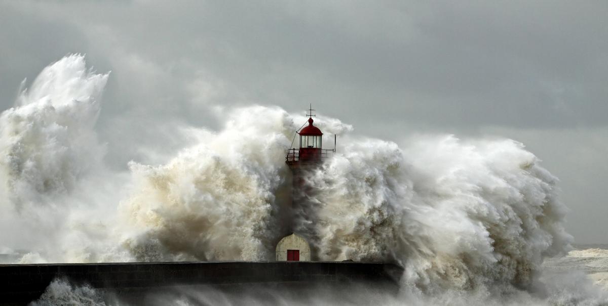
Four Tropical Storms In The Atlantic, Helene The One To Watch For The UK
The Atlantic hurricane season is very active right now, and the UK isn't immune from their effects.
There's only one place to start this morning, and that's the goings on in the Atlantic. Currently, there are four storms on the go (2 hurricanes), the most pressing one being Florence, which will be making landfall on the SE coast of the USA later today as a significant storm. For the UK, Helene is the one we need to keep an eye on, as she's currently forecast to move our way and be nearby early next week as an ex-tropical storm.

So, the potential is there for some very wet, very windy later Monday and into Tuesday, especially in the west of the UK and across Ireland. With that, there's also the likelihood of some very warm air being pumped north with temperatures into the mid-high twenties early next week too.
There is a lot of uncertainty over all of this though, standard low pressure's are tricking enough to nail down, but hurricanes and ex-hurricanes increase the difficulty for the models even more. So the outlook is subject to potentially significant change.
Back at shorter range, it's a familiar picture today, the good-old northwest-southeast split. The further north and west you are, the more likely you are to see a few showers and more cloud, further southeast it's dry with some good sunny spells. Temperatures, as you'd expect will be warmest in the southeast, at 18-21c, elsewhere, the 14-18c will be more likely.
Overnight, the showers in the north will tend to spread further south, bringing more cloud with them. That'll keep temperatures up compared with last night, but further south with clearer skies, it'll be cooler, if not chilly here, with lows down into single figures.
Friday then sees a continuation of the theme, with showers fairly widespread from the Midlands northward, but less frequent in the south with the southeast again likely to stay dry. Temperatures will generally be a touch down on today.
The showers will mostly die away overnight and into Saturday morning, with just a few left over in the west. That'll mean a chilly night as skies clear, with maybe even a touch of frost in parts of northern Britain. That leads us into a quiet start to the weekend, with Saturday seeing plenty of fine, bright or sunny weather with just one or two showers in western parts. More showery rain will arrive into Ireland fairly early on though, reaching northwest Britain later in the day.
Sunday brings some of that rain further southeast, but once again the southeast quarter of the country will keep hold of the dry weather. North of the band of showers moving southeast, will be brighter skies and a few showers in the west. By this point, it'll be warming up in the south, with highs heading into the low-twenties.

Beyond that, we head into that uncertain territory as Ex-Helene nears. Monday looks set to be mostly dry for most, perhaps increasingly warm and humid from the south. But, wet and windy weather may not be far off.


